
Township History
Good Roads Movement in Cedar Creek Township
The Fort Wayne Journal-Gazette, Tuesday, December 19, 1911, page 11. By Noah A. Gerig.
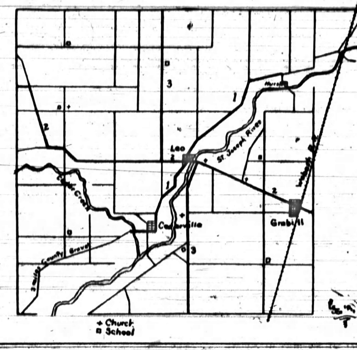
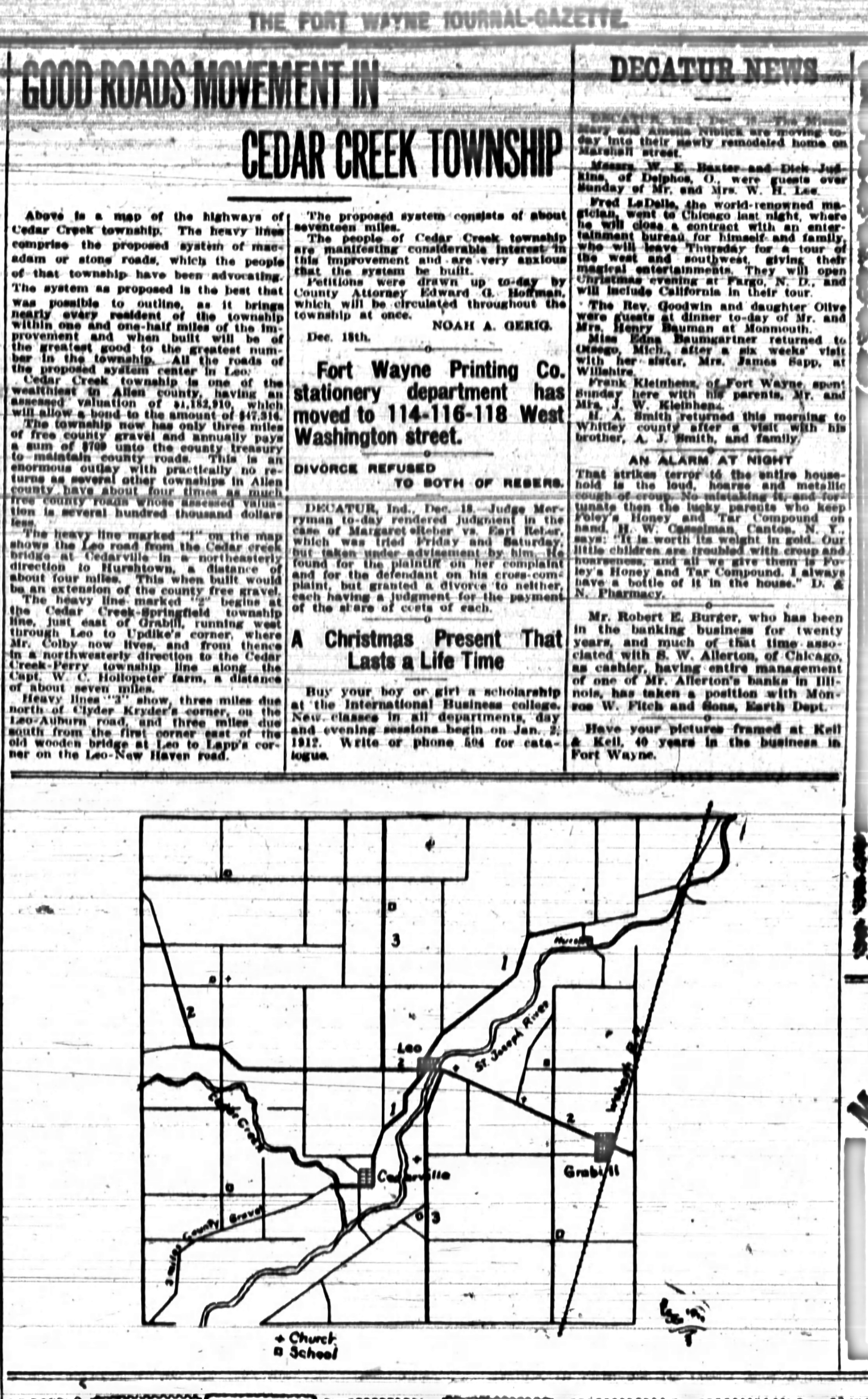
In December 1911 the people of Cedar Creek Township were petitioning for seventeen miles of stone roads, all of them centered on Leo. The Journal-Gazette printed the proposal with a map of the township’s highways. The map and the article are reproduced below, with a transcription of the text.
Transcription
Unofficial transcription, prepared from the archive scan for ease of reading, copying, and searching. The printed page is authoritative. Original spelling, punctuation, and paragraphing are preserved. Nothing has been corrected or modernized.
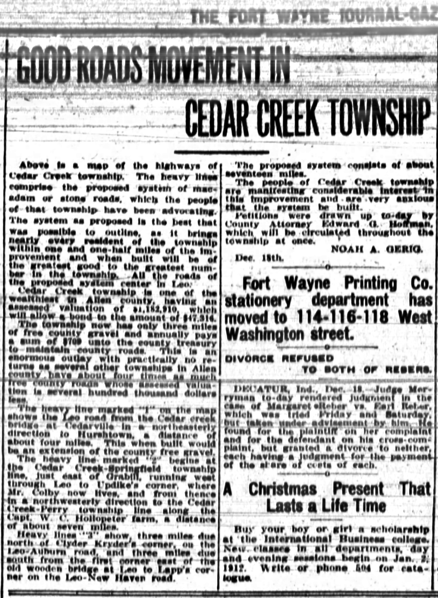
Good Roads Movement in Cedar Creek Township
Above is a map of the highways of Cedar Creek township. The heavy lines comprise the proposed system of macadam or stone roads, which the people of that township have been advocating. The system as proposed is the best that was possible to outline, as it brings nearly every resident of the township within one and one-half miles of the improvement and when built will be of the greatest good to the greatest number in the township. All the roads of the proposed system center in Leo.
Cedar Creek township is one of the wealthiest in Allen county, having an assessed valuation of $1,182,910, which will allow a bond to the amount of $47,316.
The township now has only three miles of free county gravel and annually pays a sum of $709 unto the county treasury to maintain county roads. This is an enormous outlay with practically no returns as several other townships in Allen county have about four times as much free county roads whose assessed valuation is several hundred thousand dollars less.
The heavy line marked “1” on the map shows the Leo road from the Cedar creek bridge at Cedarville in a northeasterly direction to Hurshtown, a distance of about four miles. This when built would be an extension of the county free gravel.
The heavy line marked “2” begins at the Cedar Creek-Springfield township line, just east of Grabill, running west through Leo to Updike’s corner, where Mr. Colby now lives, and from thence in a northwesterly direction to the Cedar Creek-Perry township line along the Capt. W. C. Hollopeter farm, a distance of about seven miles.
Heavy lines “3” show, three miles due north of Clyder Kryder’s corner, on the Leo-Auburn road, and three miles due south from the first corner east of the old wooden bridge at Leo to Lapp’s corner on the Leo-New Haven road.
The proposed system consists of about seventeen miles.
The people of Cedar Creek township are manifesting considerable interest in this improvement and are very anxious that the system be built.
Petitions were drawn up to-day by County Attorney Edward G. Hoffman, which will be circulated throughout the township at once.
Noah A. Gerig.Dec. 18th.
Notes
- The article says the map is “above,” but in the paper it was printed beneath the text. It is placed first here so that the article reads as its author intended.
- The bond figure of $47,316 is 4.0 percent of the stated valuation of $1,182,910, which suggests a bonding limit of four percent of assessed valuation. The article does not say so.
- “Clyder Kryder’s corner” is transcribed as printed. “Clyder” may be a typesetter’s error for “Clyde.”
- The dateline “Dec. 18th” is the day the piece was written. The newspaper is dated December 19.
About this clipping
- Source
- The Fort Wayne Journal-Gazette (Fort Wayne, Indiana), December 19, 1911, page 11.
- Archive
- Newspapers.com, image 29243482 (subscription site). The images and transcription on this page are complete and free to use.
- Copyright
- Published in the United States before 1931 and in the public domain.
- Images
- Cleaned from the archive scan for legibility (streak removal and background flattening). On the inline article image, unrelated items printed beside the end of the article have been masked. The full clipping is unaltered apart from cleaning.
- Transcription
- Prepared by Robert J. Pfister, October 2026, and checked word by word against a magnified view of the scan.